Search sheldonbrown.com and sheldonbrown.org
Sheldon Brown's Gaspée Photographs
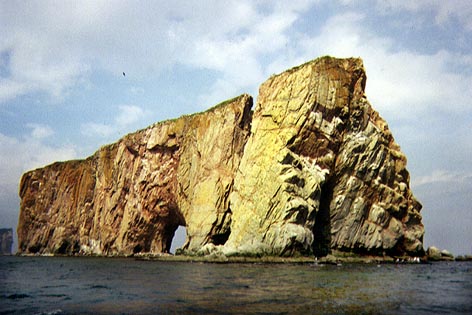
The Rock of Percé
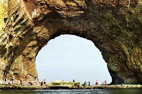
The Rock of Percé
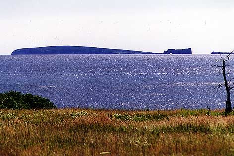
Ile Bonaventure and the Rock of Percé
The tip of the peninsula is heavily touristed, but for good reason; the scenery is quite spectacular. Above is the famous Rock of percé ("Percé" is French for "pierced")
This is where the end of the Appalachian mountain range disappears into the sea. The Rock last gasp of the Appalachians. You can walk out to this enormous natural arch at low tide...it's not to be missed...just make sure you don't get stranded by the incoming tide!
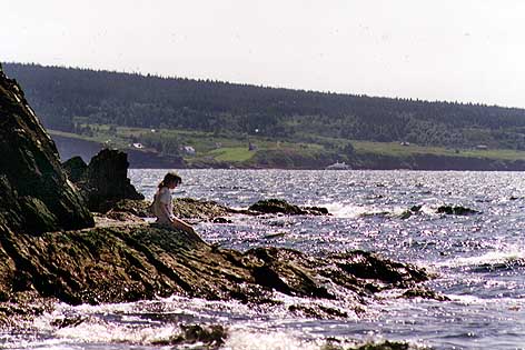
My Daughter, Tova, with Ile Bonaventure in the background.
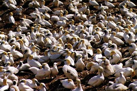
Fous de Bassin (Gannets)
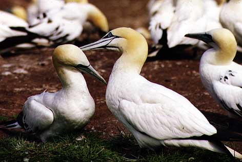
Fous de Bassin (Gannets)
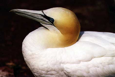
In Percé, (M-5) don't miss a boat trip to Ile Bonaventure, a bird sanctuary and a great place to hike around. This is the principal rookery for the Northern Gannet, known in French as the Fou de Bassin. There are tens of thousands of them in the summertime.
After my wife and son pushed their bikes to the top of the road to the light house at the tip of Cap Bon Ami, some passers-by asked my wife if she'd seen the bear that crossed the road right behind her!
In this area, they need special armored trash cans to keep the bears out of the garbage.
Forillon National Park
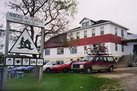
Cap-aux-Os Hostel. That's our van with the bikes on the roof.
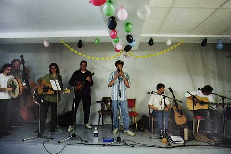
La Volute, a great traditional Québecois folk band.
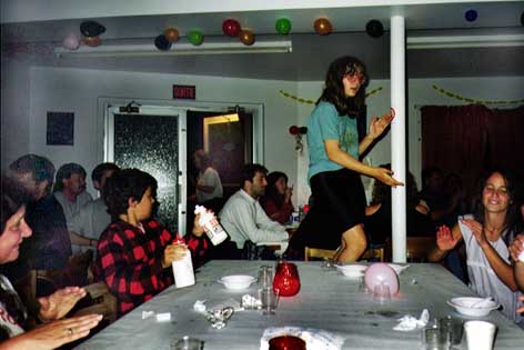
We stayed at the Youth Hostel at Cap-aux-Os, at the edge of the park. While we were there, the Hostel had a big party, with a great traditional band, called "La Volute." They had my daughter dancing on the tables.
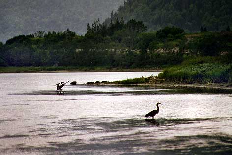
Herons on the North coast.
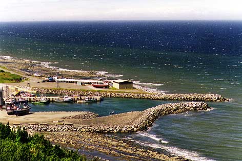
Fishing harbor
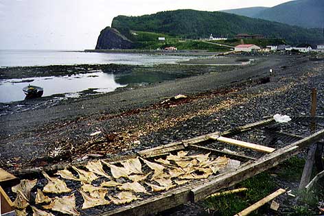
Fish drying on flakes
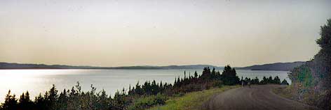
The northern shore, along the Gulf of St Lawrence, is very different. [144k Map of the North shore] Forested hills come down almost to the water's edge. There's a good, but lightly traveled road along the shore, and a railroad track...and very little else. Every 10-25 km you'll come to a little fishing village where a stream cuts through the hills to the Gulf. In between the villages, the coast is deserted. It's quite a contrast from the south shore. You'll need a good tolerance for cold water to swim here.
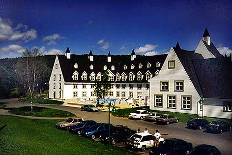
The Mont Albert hotel is excellent, an island of civilization out in the middle of nowhere. The food is spectacular, but surprisingly cheap, because it is an advanced school for chefs, and the students do the cooking. Highly recommended.
If you would like to make a link or bookmark to this page, the URL is:
https://www.sheldonbrown.com/article.html
Last Updated: May 8, 2012 19:33 EDT by Harriet Fell

![[144k Map of the North shore]](images/quebec/gaspe-north.jpeg)